.svg)

Forecasting and simulation of large-scale, typically network infrastructure such as road, rail or utility networks. Numerous data sources may be integrated to build models which can predict network behaviour and outcomes under hypothetical or counterfactual scenarios in addition to business as usual.
 View projects for this use case
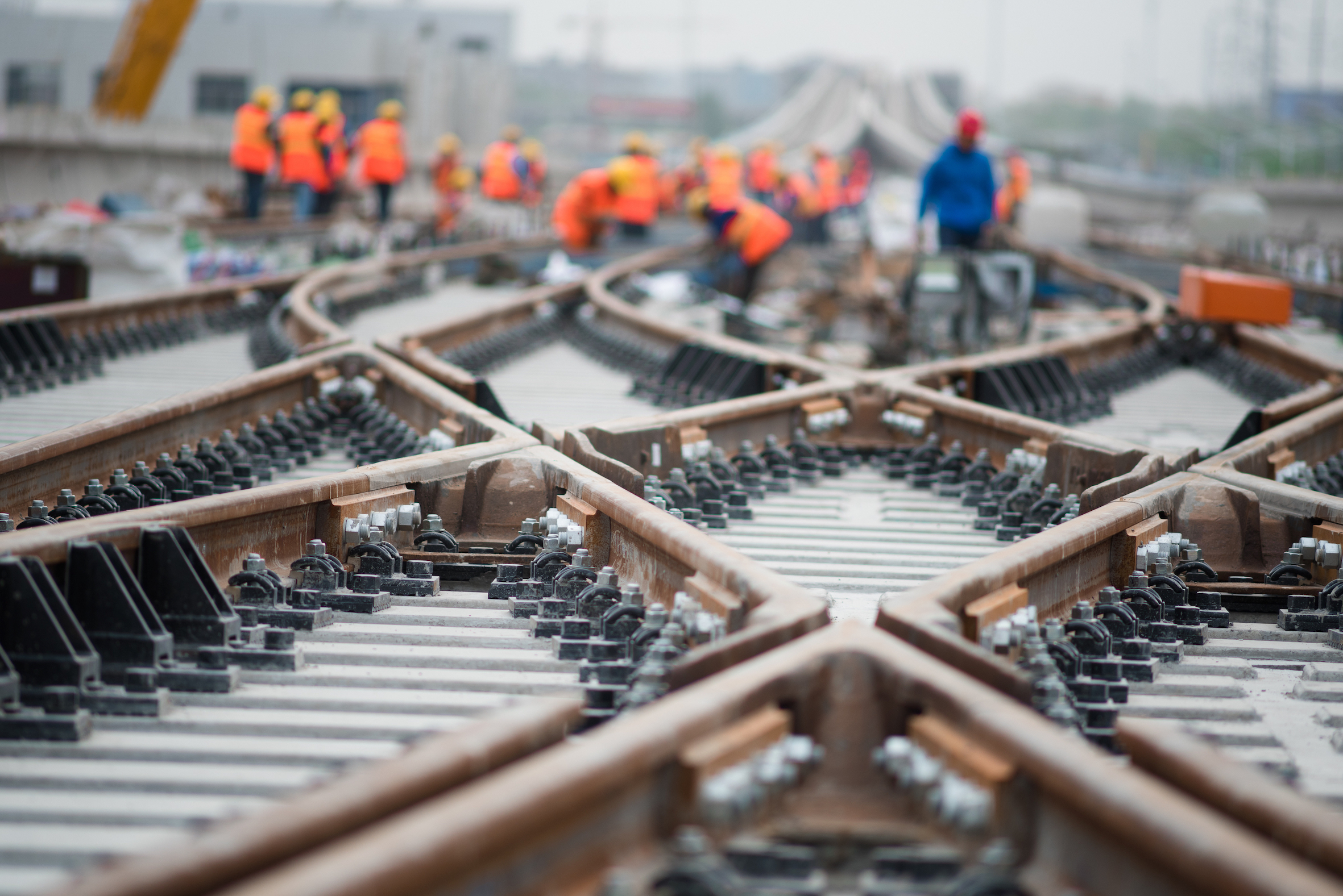
Used to manage a distributed network of assets. For example a road or rail network. Includes prediction of network demands and realtime analysis of incidents, congestion or delays.
-p-500.png) View projects for this use case
View projects for this use caseOn-the-fly design optimisation, providing solutions tailored to satisfy a variety of criteria (e.g. carbon content, speed of construction etc).
 View projects for this use case
Ability to simulate events occurring on a construction site such as emergency response (access/egress) or logistics management and optimise permanent/temporary works solutions.
-p-500.jpeg) View projects for this use case
View projects for this use caseAutomatically assess existing and proposed assets for geometric compliance against various criteria.
 View projects for this use case
We are exploring this use case...
 View projects for this use case
We are exploring this use case...
 View projects for this use case
We are exploring this use case...
 View projects for this use case
We are exploring this use case...
 View projects for this use case
Ability to simulate events occurring on a construction site such as emergency response (access/egress) such as logistics management and optimise permanent/temporary works solutions.
-p-800.jpeg) View projects for this use case
View projects for this use caseOn-the-fly design optimisation, providing solutions tailored to satisfy a variety of criteria (e.g. carbon content, speed of construction etc).
View projects for this use caseLarge scale simulation of a hypothetical transport link including path planning and path option evaluation.
 View projects for this use case
Bespoke simulation of a local road network to explore different traffic demand scenarios.
 View projects for this use case
Used to monitor and interact with an operational asset, focussed on maintenance activities, enabling a transition from scheduled maintenance to predictive routines based on actual data feeds.
 View projects for this use case
Utilising design and existing conditions information as an input for decision support tools, targeted at planning logistics activities on linear projects.
 View projects for this use case
Utilising design and existing conditions information as an input for decision support tools, targeted at planning construction activities and generating baselines for program and cost outcomes. Potential to connect with project controls datasets to monitor progress and optimise schedule to mitigate delays.
 View projects for this use case
Used to assist with the design and construction of non-linear asset/facilities such as an individual building or train station. Supports project planning and reporting, estimating and construction delivery.
 View projects for this use case
A platform to manage large scale datasets and the exchange of data across government agencies. Can include a broad variety of data ranging from property, environment, survey, existing and proposed assets. Can incorporate additional functionality such as comparison between historical datasets and lookaheads (e.g. approved designs for future assets).
 View projects for this use case
Templated, intuitive draft design of buildings and facilities with immediate calculations of financial, environmental and other impacts and outcomes to be used for business case and feasability studies.
 View projects for this use case
Design and deliver scenario centric tools for public servants and/or the public that enables, streamlines and standardise land use and urban planning assessments. Examples; - Land Use evaluation (optimised public value) - Scenario planning and impact assessments - Environmental Offset Estimators - Simulate what-if scenarios (e.g. population growth, temperature rise, transport patterns etc) and impact on land use.
View projects for this use caseDesign and deliver online tools for government users or industry that streamlines standardised land use, planning scheme and property development related processes. For example: Planning scheme publishing via maps and property reports; Infrastructure contributions; Development Application (DA) information systems.
 View projects for this use case
Generative design is a design exploration process. Designers or engineers input design goals into the generative design software, along with parameters such as performance or spatial requirements, materials, manufacturing methods, and cost constraints.
 View projects for this use case
Combination of engineering equations to define a simulation system and machine learning to fit to observations, then running the simulation under various scenarios.
 View projects for this use case
A network of sensors and open-data used to monitor conditions and predict potential issues ahead of time to implement mitigation measures. For example monitoring weather combined with dust monitors in order to proactively deploy water trucks; preventing breach of environmental conditions; Long-range forecasting of weather conditions vs crane schedules.
 View projects for this use case
Forecast (predict) condition of network assets and use this to optimise a typically multiple year planned maintenance programme to maximise level of service or network value.
 View projects for this use case
Used to test and interact with a design model with the participants (local, regional and international visitors) and key stakeholders and undertake analysis of the results. Design is updated through review gates and retested. With a view to improve safety outcomes, improve the driver experience, enhanced design performance, deliver cost savings to construction. Can also be applied in Operations for training new personnel, understanding impact of configuration changes.
 View projects for this use case
Used to manage a distributed network of assets. For example a road or rail network. Includes prediction of network demands and realtime analysis of incidents, congestion or delays.
.png) View projects for this use case
View projects for this use caseUsed to monitor and interact with an operational asset. For example: Monitor system/energy performance; Remote interaction with system (SCADA or similar); Desk Bookings; Bridge Loads/Deflection monitoring - Automated Safety controls.
 View projects for this use case
Used to manage a single asset from handover through to end-of-life. For example: Material Passport/Database; Existing Conditions model for new works/refurb/maintenance; Maintenance planning/records; Visualisation for client/end-users/tenants.
 View projects for this use case
Used to monitor and interact with an operational asset. For example: Monitor system/energy performance; remote interaction with system (SCADA or similar); desk bookings; bridge loads/deflection monitoring; automated safety controls.
View projects for this use caseTo be used to effectively plan or conceptualise future changes to the built environment. For example: Portfolio review and planning for developers; Government authorities/infrastructure groups; Development approvals; Database of existing conditions (LiDAR/imagery/BIM).
View projects for this use caseTo be used to support construction delivery/operations by providing near real-time information related to the site. Examples may include weather monitoring/forecasting, logistics management, environmental reporting.
View projects for this use caseLow-spec operational twin, no data integration. Ultimately a static record of asset portfolio.
 View projects for this use case
To be used to assist with the design and construction of linear asset/networks of the built environment. Could include typical 4D/5D, VR/AR outputs.
View projects for this use case


.svg)


